
Call us anytime
(555)123-456-789
esidential Subdivision Survey – Greenhill Estate
Homepage / Projects / Project Detail
Residential Subdivision Survey – Greenhill Estate
Project Location : Greenhill Estate, West Valley Region
Project Duration : March 2023 – August 2023
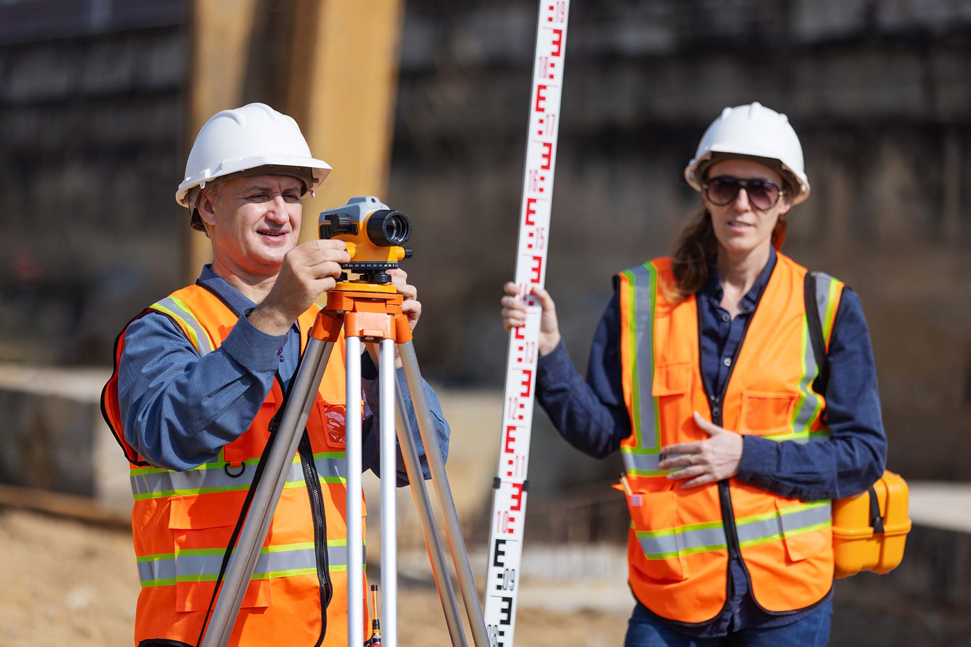
Project Type : Residential Subdivision Surveying & Mapping
Project Summary
The Greenhill Estate project involved a full-scale residential subdivision survey for a new 70-lot housing development located in a semi-rural growth corridor. Our team was tasked with executing precise boundary mapping, subdivision layout design, topographic mapping, and easement identification — all in accordance with local planning and zoning regulations.
Objectives
- Define and mark accurate legal boundaries
- Provide topographic data for infrastructure design
- Support zoning application and construction approval
- Assist the developer in maximizing land use efficiency
Tools & Methods Used
- GNSS RTK Survey Equipment
- Drone/UAV Photogrammetry
- CAD & GIS Mapping Software
- Digital Elevation Modeling (DEM)

Project Overview:
The Greenhill Estate subdivision survey was a comprehensive land development initiative aimed at transforming a large parcel of semi-rural land into a modern residential neighborhood. Our team was engaged from the early planning stages through to final approvals, ensuring every boundary and lot division met local regulations and development goals.
The project required full-scale boundary identification, topographic mapping, easement determination, and precise subdivision layout planning. We utilized GNSS technology and drone-assisted mapping to provide high-accuracy spatial data. Our work supported land planners, civil engineers, and developers by delivering reliable base maps and digital terrain models essential for zoning submissions and infrastructure planning.

Challenges:
The terrain featured natural undulations, protected tree zones, and nearby waterways, which required environmental sensitivity and detailed contour mapping. Additionally, the integration of existing utility corridors and future road access points called for careful coordination with municipal planners and utility providers.
Solutions & Approach:
We adopted a hybrid approach, combining ground-based total station surveys with UAV photogrammetry to ensure coverage of both accessible and difficult terrain. Using GIS tools, we processed data into clear, actionable maps. Our phased delivery ensured each development stage stayed on schedule, with frequent updates to stakeholders.
Solutions & Approach:
The final deliverables included subdivision plans ready for approval, digital elevation models, and as-built records for engineering use. Our accurate data ensured legal clarity, reduced risk, and provided the client with confidence in moving forward with sales and construction.

Let’s Get Your Land Project Started Right
Accurate data is the foundation of every successful project. Partner with a team you can trust for precise, efficient, and expert land surveying services.