
The Importance of Accurate Land Surveying Today
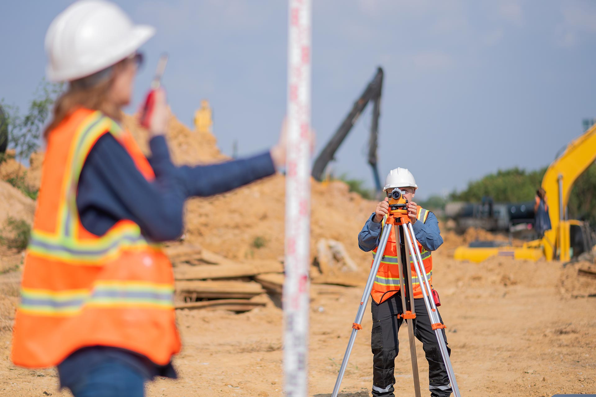
Accurate land surveying is a crucial component in modern infrastructure development. It ensures that property boundaries are correctly defined, preventing costly legal disputes. Surveying provides...


Property Developer
"We needed urgent boundary data, and they delivered faster than expected. Professional, responsive, and very easy to work with."

Civil Engineer
"I've worked with many surveyors, but this team stands out. Clear communication, reliable results, and modern tools that made all the difference."

Architect
"The topographic maps were incredibly detailed and accurate. Their work helped us avoid design errors and saved time during planning."
Accurate land surveying is a crucial component in modern infrastructure development. It ensures that property boundaries are correctly defined, preventing costly legal disputes. Surveying provides...
Technology has revolutionized the field of land surveying in recent years. Global Navigation Satellite Systems (GNSS) allow surveyors to capture data with centimeter-level precision. Drones...
One of the main benefits of land surveying is legal clarity. It determines where your property begins and ends, which is critical for ownership. Without...

Michael R.
Project Manager