The Importance of Accurate Land Surveying Today

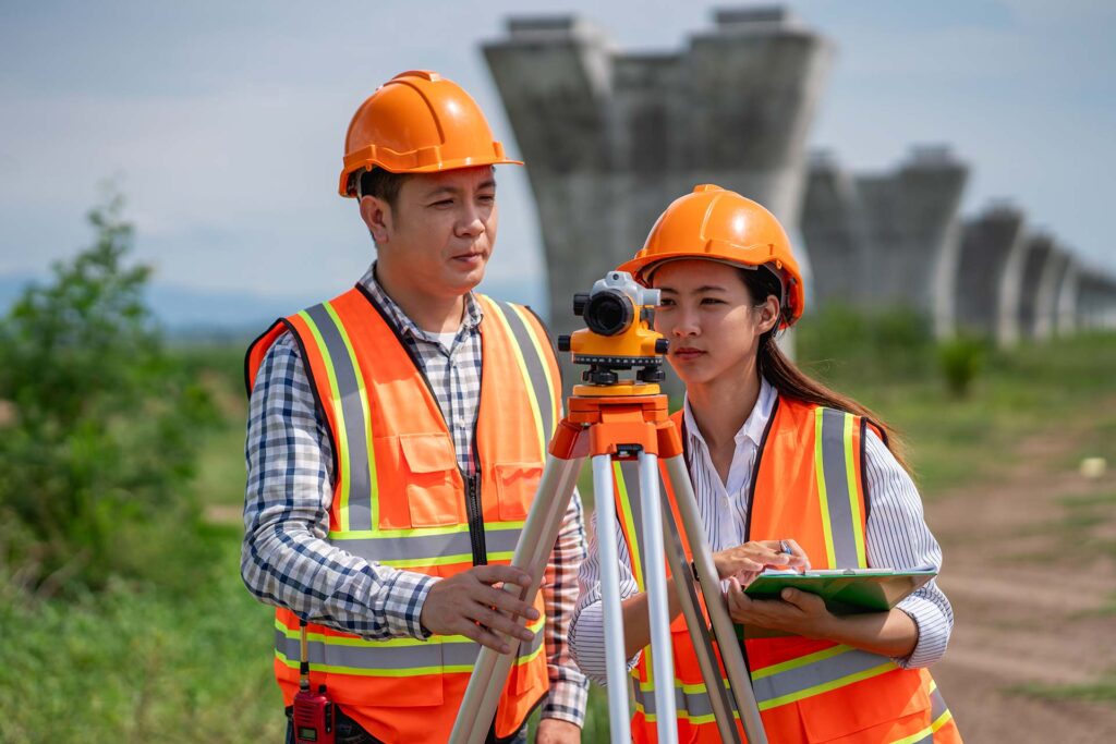
Accurate land surveying is a crucial component in modern infrastructure development. It ensures that property boundaries are correctly defined, preventing costly legal disputes. Surveying provides the foundation for construction planning, utility placement, and land division. Without accurate data, projects can suffer from delays and design errors. Land surveyors use advanced tools like GNSS and total stations to enhance precision. Developers, engineers, and homeowners rely on these measurements to build safely and efficiently. Even small miscalculations can lead to major setbacks or compliance issues. Modern surveying combines traditional methods with technology for better outcomes. From urban planning to agricultural zoning, land data plays a vital role. As development grows, the need for accuracy becomes more important than ever.
GNSS vs Total Station: Key Differences Explained

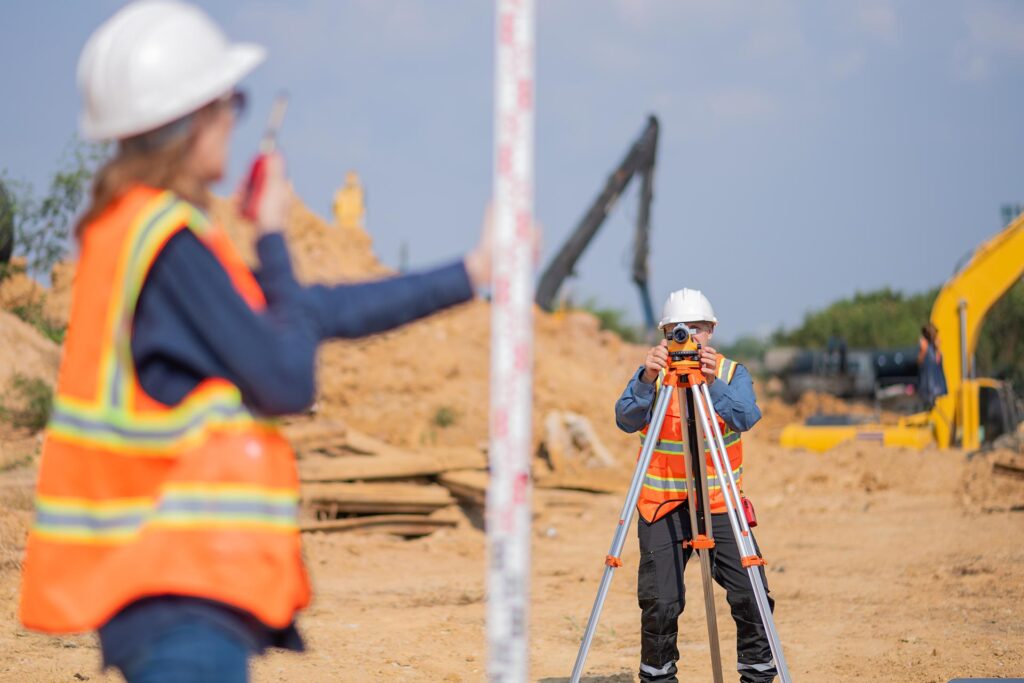
Technology has revolutionized the field of land surveying in recent years. Global Navigation Satellite Systems (GNSS) allow surveyors to capture data with centimeter-level precision. Drones offer aerial perspectives and map large areas in a fraction of the time. Total stations provide angular and distance measurements in real-time. Laser scanners produce 3D models of terrain and built environments. These tools enhance productivity and minimize human error. Data from surveys can be processed using CAD and GIS software. This integration results in detailed, layered maps for architects and engineers. Technology also makes it easier to survey remote or hazardous locations. The future of surveying will continue to rely heavily on tech innovation.
