Why Topographic Mapping Matters in Development

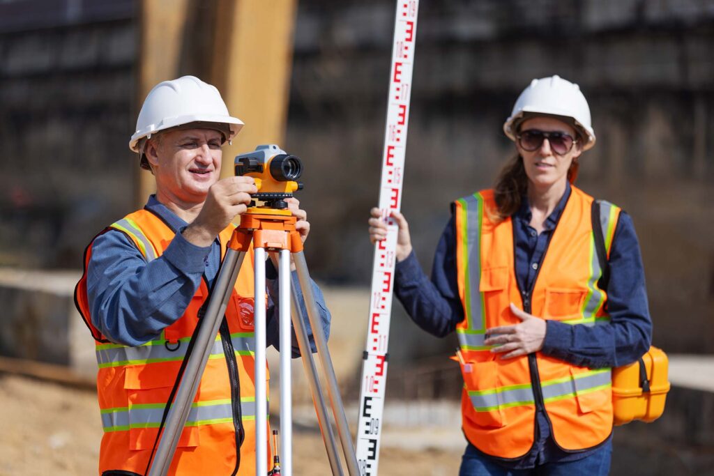
Accurate land surveying is a crucial component in modern infrastructure development. It ensures that property boundaries are correctly defined, preventing costly legal disputes. Surveying provides the foundation for construction planning, utility placement, and land division. Without accurate data, projects can suffer from delays and design errors. Land surveyors use advanced tools like GNSS and total stations to enhance precision. Developers, engineers, and homeowners rely on these measurements to build safely and efficiently. Even small miscalculations can lead to major setbacks or compliance issues. Modern surveying combines traditional methods with technology for better outcomes. From urban planning to agricultural zoning, land data plays a vital role. As development grows, the need for accuracy becomes more important than ever.
