The Importance of Accurate Land Surveying Today
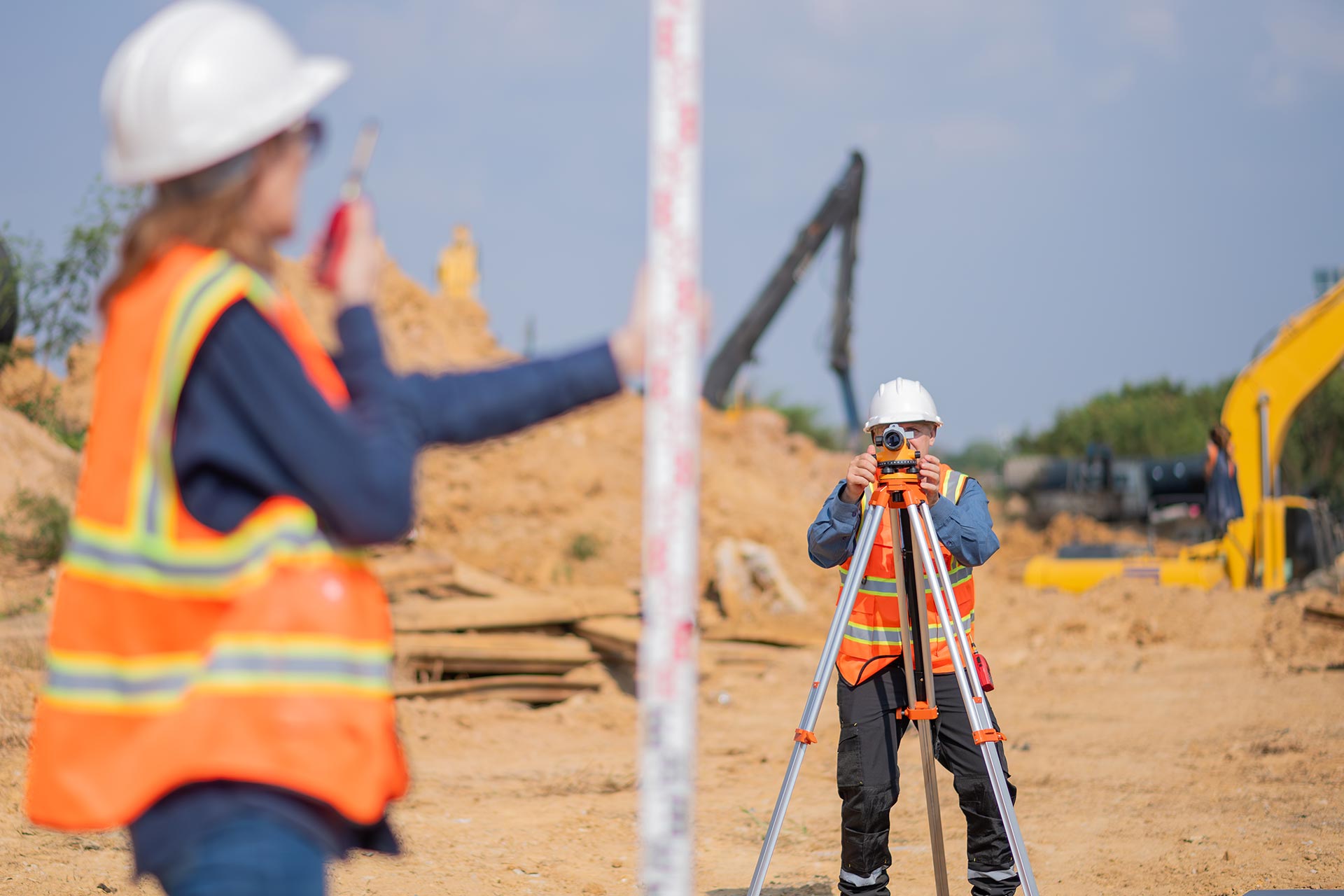
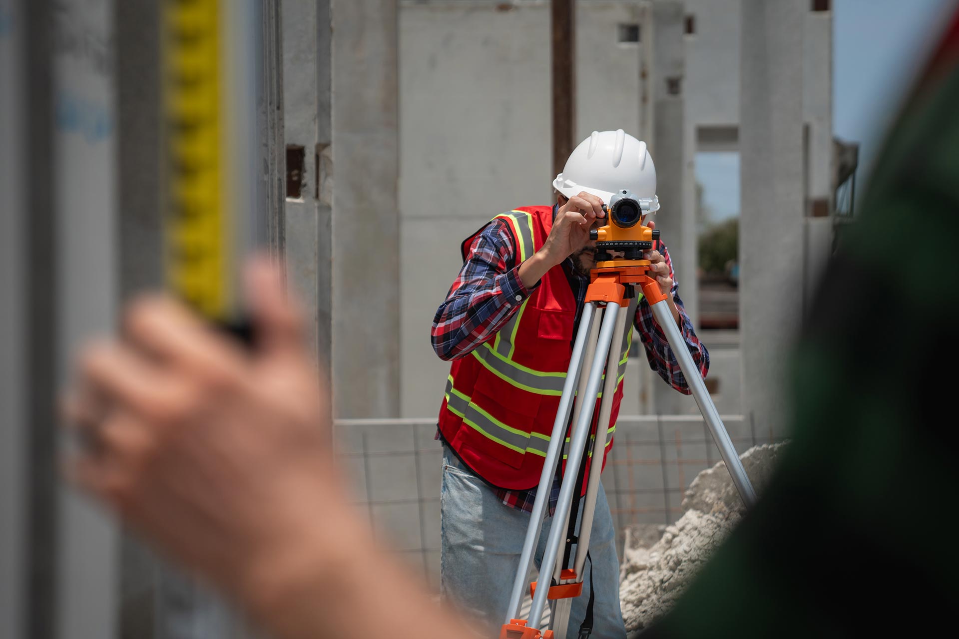
Accurate land surveying is a crucial component in modern infrastructure development. It ensures that property boundaries are correctly defined, preventing costly legal disputes. Surveying provides...

Call us anytime
(555)123-456-789
Homepage / FAQs
We understand that land surveying and mapping can raise many questions. Our FAQ section is here to provide clear and concise answers to help you move forward with confidence.
We provide a wide range of services including boundary and property surveys, topographic mapping, construction staking, land subdivision, as-built surveys, and GNSS/GPS-based data collection. Our services are tailored to meet the needs of developers, engineers, architects, and property owners.
The time required depends on the size and complexity of the property. A simple residential boundary survey can take 1–3 days, while larger or more technical surveys may take a week or more. We always strive to deliver accurate results within a reasonable timeframe.
A land survey ensures that property boundaries are clearly defined and helps prevent legal disputes or costly construction errors. It provides accurate data for site planning, design, and regulatory compliance, ensuring your project begins on solid ground.
We use modern GNSS (Global Navigation Satellite System) receivers, total stations, drones for aerial mapping, and advanced CAD/GIS software to deliver precise and reliable surveying results. Our team stays up to date with the latest surveying innovations.
Yes, especially if the previous survey is outdated or if there have been changes to the property (e.g., new construction, land division). Local authorities or lenders may also require an updated survey for permitting, development, or legal purposes.
Accurate land surveying is a crucial component in modern infrastructure development. It ensures that property boundaries are correctly defined, preventing costly legal disputes. Surveying provides...
Technology has revolutionized the field of land surveying in recent years. Global Navigation Satellite Systems (GNSS) allow surveyors to capture data with centimeter-level precision. Drones...
One of the main benefits of land surveying is legal clarity. It determines where your property begins and ends, which is critical for ownership. Without...