
Homepage > Blogs> Single Post
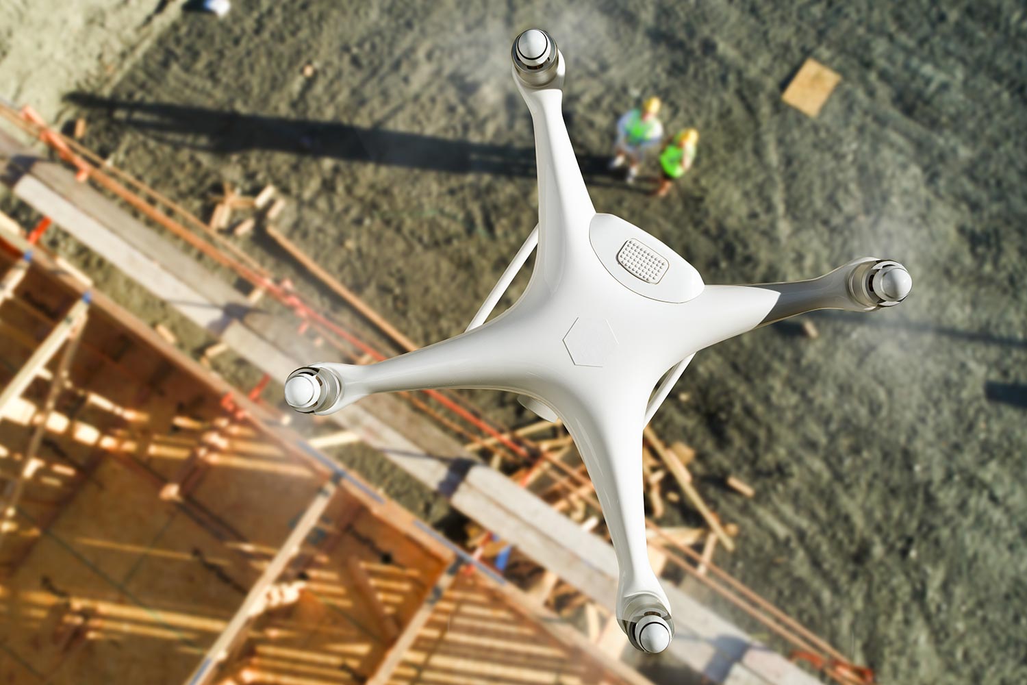
The integration of unmanned aerial vehicles into the construction industry has fundamentally revolutionized how project managers oversee daily site operations. Traditional land surveying techniques often required multiple days of manual labor across difficult terrain, whereas modern drones capture comprehensive spatial datasets within a fraction of that timeframe. By deploying high-resolution cameras alongside real-time kinematic positioning systems, site engineers obtain precise aerial imagery that seamlessly translates into actionable digital models. This rapid collection of geospatial information enables project stakeholders to detect structural discrepancies, monitor earthwork progress, and coordinate ground personnel with unprecedented clarity. Consequently, construction firms across the globe are rapidly replacing older manual survey methods with automated aerial workflows to remain competitive. The financial savings associated with reduced field hours allow contractors to allocate resources toward crucial engineering challenges instead of repetitive measurements. Furthermore, aerial data capture minimizes the need for human surveyors to navigate active heavy machinery zones or hazardous topographical conditions. As regulatory frameworks adapt to commercial flight operations, the adoption rate of specialized surveying drones continues to accelerate globally. Ultimately, early adopters of this technology gain a massive operational advantage by executing site audits faster and with significantly lower operational overhead.
Accurate data capture serves as the core foundation for any successful engineering project, making precision standards paramount during drone mapping missions. By leveraging ground control points alongside onboard sensor calibration, commercial pilots consistently achieve horizontal and vertical accuracy down to single centimeters. This high level of precision allows surveyors to generate highly detailed contour lines, digital elevation models, and point cloud visualizations that match traditional total station results. When civil engineers receive CAD-ready files with confirmed spatial integrity, they can make critical structural decisions without fearing expensive downstream layout errors. Moreover, the repeatability of automated drone flight paths ensures that multi-phase construction sites receive identical spatial alignment across every single survey run. Having historical visual records grounded in precise coordinates simplifies dispute resolution between contractors, sub-contractors, and site owners when unexpected site variations arise. The seamless integration of these accurate datasets into building information modeling platforms ensures that virtual designs match actual ground conditions perfectly. As sensor quality improves and real-time processing capabilities expand, the margin of error in drone photogrammetry continues to shrink even further. Consequently, engineering firms can now confidently submit aerial survey data to regulatory bodies and local municipalities for official project approvals.
Managing earthwork quantities and tracking inventory volume represents one of the most critical financial aspects on large-scale civil development projects. Traditional volumetric measurement methods reliant on manual ground points often yield imprecise estimations that lead to costly material discrepancies later in the build. Commercial survey drones solve this long-standing issue by capturing dense three-dimensional point clouds over stockpiles and excavation pits within minutes. Photogrammetry software processes these overlapping aerial images to generate volumetric reports featuring cut and fill calculations with remarkable accuracy. Site managers can immediately verify incoming aggregate deliveries, track daily earthmoving efficiency, and optimize haul truck routes based on real-time surface models. This level of continuous inventory control prevents over-excavation while ensuring that materials are distributed across the construction site with maximum efficiency. Furthermore, having detailed volumetric records generated on a weekly basis allows project accounting teams to verify contractor billing against actual work completed. The transparency provided by aerial volumetric audits builds stronger trust between project owners and site managers throughout the development lifecycle. As site complexities scale, automated volumetric drone software becomes an indispensable asset for controlling costs and maintaining lean supply chains.
Flak delivers centimeter-accurate drone mapping, 3D reality modeling, and geospatial surveying solutions for modern engineering and site operations.
Subscribe to receive the latest aerial survey insights, drone technology updates, and project case studies.
Our Location
123 Serenity Lane, Blissfield, CA 90210, United States
Our Number
(555) 123-4567
Copyright © 2026 Widagdos. All Rights Reserved.